You can not select more than 25 topics
Topics must start with a letter or number, can include dashes ('-') and can be up to 35 characters long.
8.0 KiB
8.0 KiB

albersusa : Tools, Shapefiles & Data to Work with an 'AlbersUSA' Composite Projection
The following functions are implemented:
usa_composite: Retreive a U.S. composite map, optionally with a projectionus_aeqd_proj: Oblique azimuthal equidistant convenience projectionus_eqdc_proj: Equidistant conic convenience projectionus_laea_proj: Albers equal-area conic convenience projectionus_lcc_proj: Lambert conformal conic convenience projectionus_longlat_proj: Generic long/lat convenience projectioncounties_composite: Retreive a U.S. county composite map, optionally with a projection
The following data sets are included:
system.file("extdata/composite_us_states.geojson.gz", package="albersusa")system.file("extdata/composite_us_counties.geojson.gz", package="albersusa")
Also, the @data slot of each SpatialPolygonsDataFrame has some handy data you can use (like FIPS codes and state/county population information).
Installation
devtools::install_github("hrbrmstr/albersusa")
Usage
library(albersusa)
library(sp)
library(rgeos)
library(maptools)
library(ggplot2)
library(ggalt)
library(ggthemes)
library(viridis)
library(scales)

# current verison
packageVersion("albersusa")
## [1] '0.2.0'
us <- usa_composite()

dplyr::glimpse(us@data)
## Observations: 51
## Variables: 13
## $ geo_id              <chr> "0400000US04", "0400000US05", "0400000US06", "0400000US08", "0400000US09", "0400000US11...
## $ fips_state          <chr> "04", "05", "06", "08", "09", "11", "13", "17", "18", "22", "27", "28", "30", "35", "38...
## $ name                <chr> "Arizona", "Arkansas", "California", "Colorado", "Connecticut", "District of Columbia",...
## $ lsad                <chr> "", "", "", "", "", "", "", "", "", "", "", "", "", "", "", "", "", "", "", "", "", "",...
## $ census_area         <dbl> 113594.084, 52035.477, 155779.220, 103641.888, 4842.355, 61.048, 57513.485, 55518.930, ...
## $ iso_3166_2          <chr> "AZ", "AR", "CA", "CO", "CT", "DC", "GA", "IL", "IN", "LA", "MN", "MS", "MT", "NM", "ND...
## $ census              <int> 6392017, 2915918, 37253956, 5029196, 3574097, 601723, 9687653, 12830632, 6483802, 45333...
## $ pop_estimataes_base <int> 6392310, 2915958, 37254503, 5029324, 3574096, 601767, 9688681, 12831587, 6484192, 45334...
## $ pop_2010            <int> 6411999, 2922297, 37336011, 5048575, 3579345, 605210, 9714464, 12840097, 6490308, 45455...
## $ pop_2011            <int> 6472867, 2938430, 37701901, 5119661, 3590537, 620427, 9813201, 12858725, 6516560, 45759...
## $ pop_2012            <int> 6556236, 2949300, 38062780, 5191709, 3594362, 635040, 9919000, 12873763, 6537632, 46047...
## $ pop_2013            <int> 6634997, 2958765, 38431393, 5272086, 3599341, 649111, 9994759, 12890552, 6570713, 46292...
## $ pop_2014            <int> 6731484, 2966369, 38802500, 5355866, 3596677, 658893, 10097343, 12880580, 6596855, 4649...
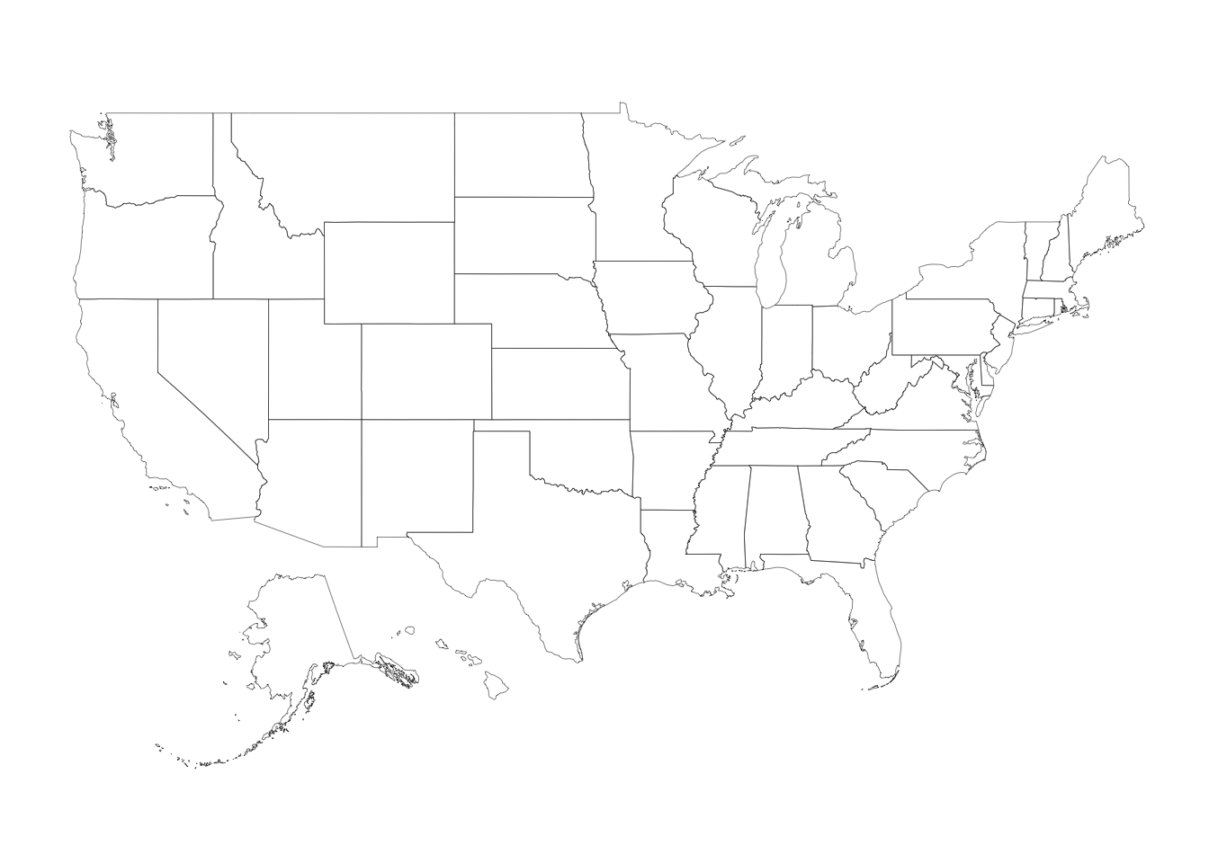
plot(us, lwd=0.25)

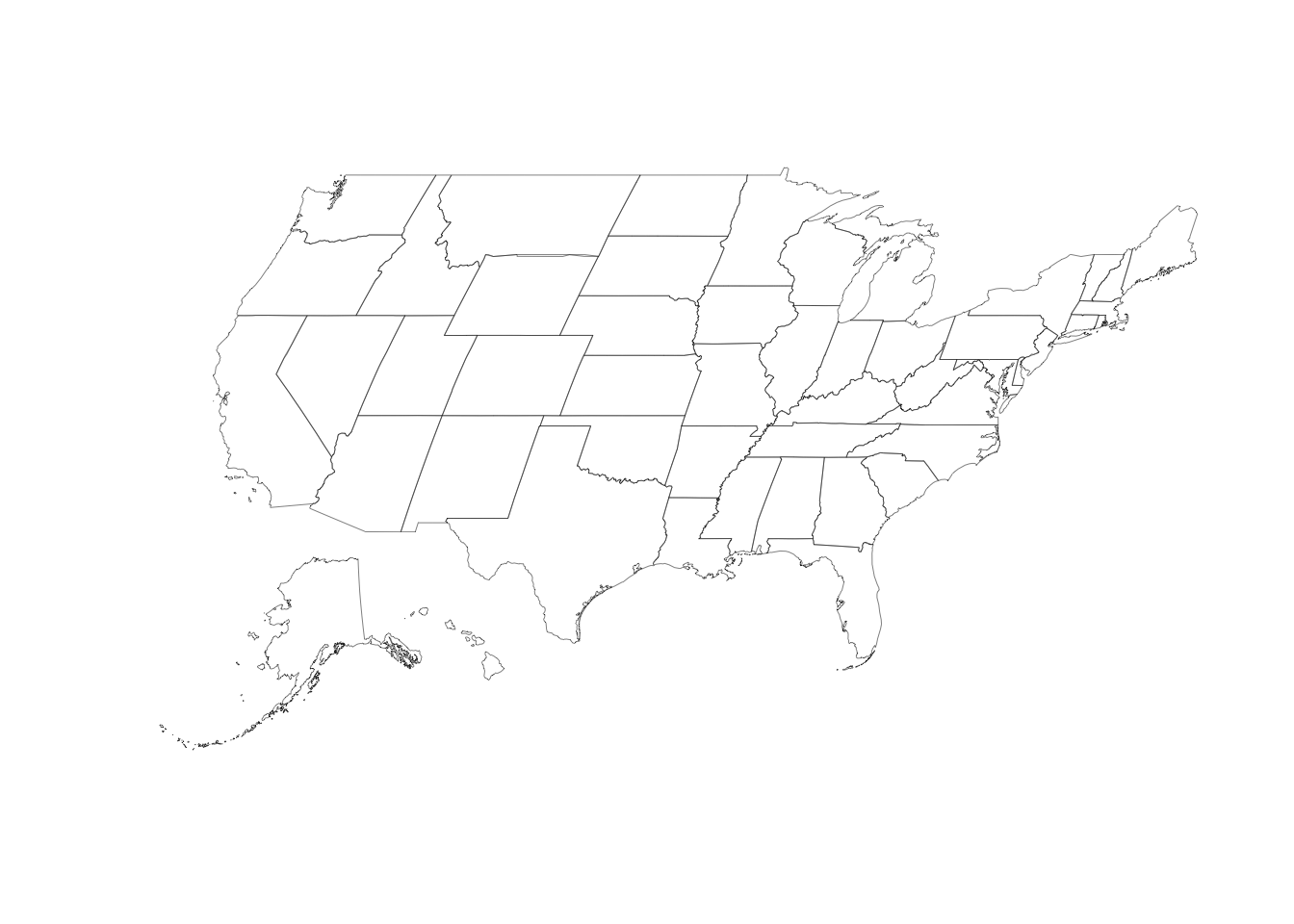
us <- usa_composite("laea")
plot(us, lwd=0.25)

us <- usa_composite()
us_map <- fortify(us, region="name")

gg <- ggplot()
gg <- gg + geom_map(data=us_map, map=us_map,
                    aes(x=long, y=lat, map_id=id),
                    color="#2b2b2b", size=0.1, fill=NA)
## Warning: Ignoring unknown aesthetics: x, y
gg <- gg + theme_map()
## Warning: `panel.margin` is deprecated. Please use `panel.spacing` property instead
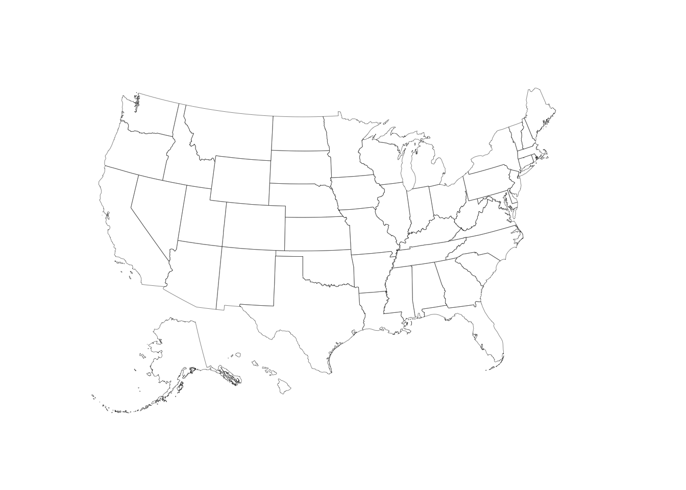
gg + coord_map()
gg + coord_map("polyconic")

gg + coord_proj()
gg + coord_proj(us_laea_proj)
gg + coord_proj(us_aeqd_proj)

gg + coord_proj(us_eqdc_proj)

gg + coord_proj(us_lcc_proj)

gg +
  geom_map(data=us@data, map=us_map,
           aes(fill=pop_2014, map_id=name),
           color="white", size=0.1) +
  coord_proj(us_laea_proj) +
  scale_fill_viridis(name="2014 Populaton Estimates", labels=comma) +
  theme(legend.position="top",
        legend.key.width=unit(3, "lines"))

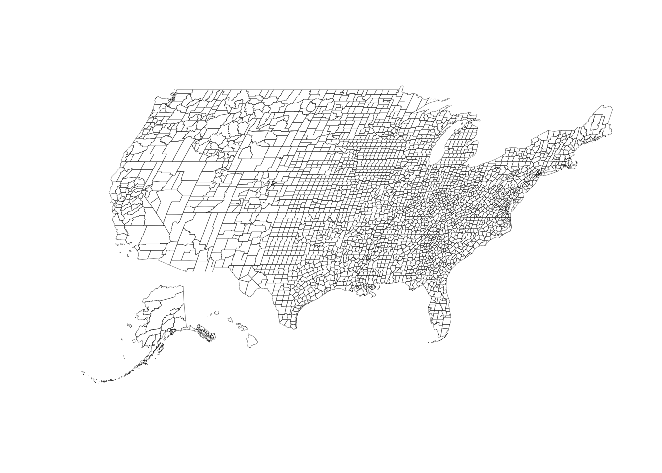
us <- counties_composite()

dplyr::glimpse(us@data)
## Observations: 3,143
## Variables: 8
## $ fips        <chr> "01001", "01009", "01017", "01021", "01033", "01045", "01051", "01065", "01079", "01083", "0109...
## $ state_fips  <chr> "01", "01", "01", "01", "01", "01", "01", "01", "01", "01", "01", "01", "01", "05", "05", "06",...
## $ county_fips <chr> "001", "009", "017", "021", "033", "045", "051", "065", "079", "083", "099", "107", "121", "141...
## $ name        <chr> "Autauga", "Blount", "Chambers", "Chilton", "Colbert", "Dale", "Elmore", "Hale", "Lawrence", "L...
## $ lsad        <chr> "County", "County", "County", "County", "County", "County", "County", "County", "County", "Coun...
## $ census_area <dbl> 594.436, 644.776, 596.531, 692.854, 592.619, 561.150, 618.485, 643.943, 690.678, 559.936, 1025....
## $ state       <chr> "Alabama", "Alabama", "Alabama", "Alabama", "Alabama", "Alabama", "Alabama", "Alabama", "Alabam...
## $ iso_3166_2  <chr> "AL", "AL", "AL", "AL", "AL", "AL", "AL", "AL", "AL", "AL", "AL", "AL", "AL", "AR", "AR", "CA",...
plot(us, lwd=0.25)

us <- counties_composite("laea")
plot(us, lwd=0.25)

us <- counties_composite()
us_map <- fortify(us, region="fips")

gg <- ggplot()
gg <- gg + geom_map(data=us_map, map=us_map,
                    aes(x=long, y=lat, map_id=id),
                    color="#2b2b2b", size=0.1, fill=NA)
## Warning: Ignoring unknown aesthetics: x, y
gg <- gg + theme_map()
## Warning: `panel.margin` is deprecated. Please use `panel.spacing` property instead
gg + coord_map()

gg + coord_map("polyconic")

gg + coord_proj()
gg + coord_proj(us_laea_proj)

gg + coord_proj(us_aeqd_proj)

gg + coord_proj(us_eqdc_proj)

gg + coord_proj(us_lcc_proj)

Test Results
library(albersusa)
library(testthat)

date()
## [1] "Mon Dec 19 16:02:00 2016"
test_dir("tests/")
## testthat results ========================================================================================================
## OK: 6 SKIPPED: 0 FAILED: 0
##
## DONE ===================================================================================================================
## You rock!