您最多选择25个主题
主题必须以字母或数字开头,可以包含连字符 (-),并且长度不得超过35个字符
|
|
4 年前 | |
|---|---|---|
| shp | 4 年前 | |
| README.md | 4 年前 | |
| midas-points.png | 4 年前 | |
| midas.csv | 4 年前 | |
| midas.geojson | 4 年前 | |
| midas.sqlite | 4 年前 | |
README.md
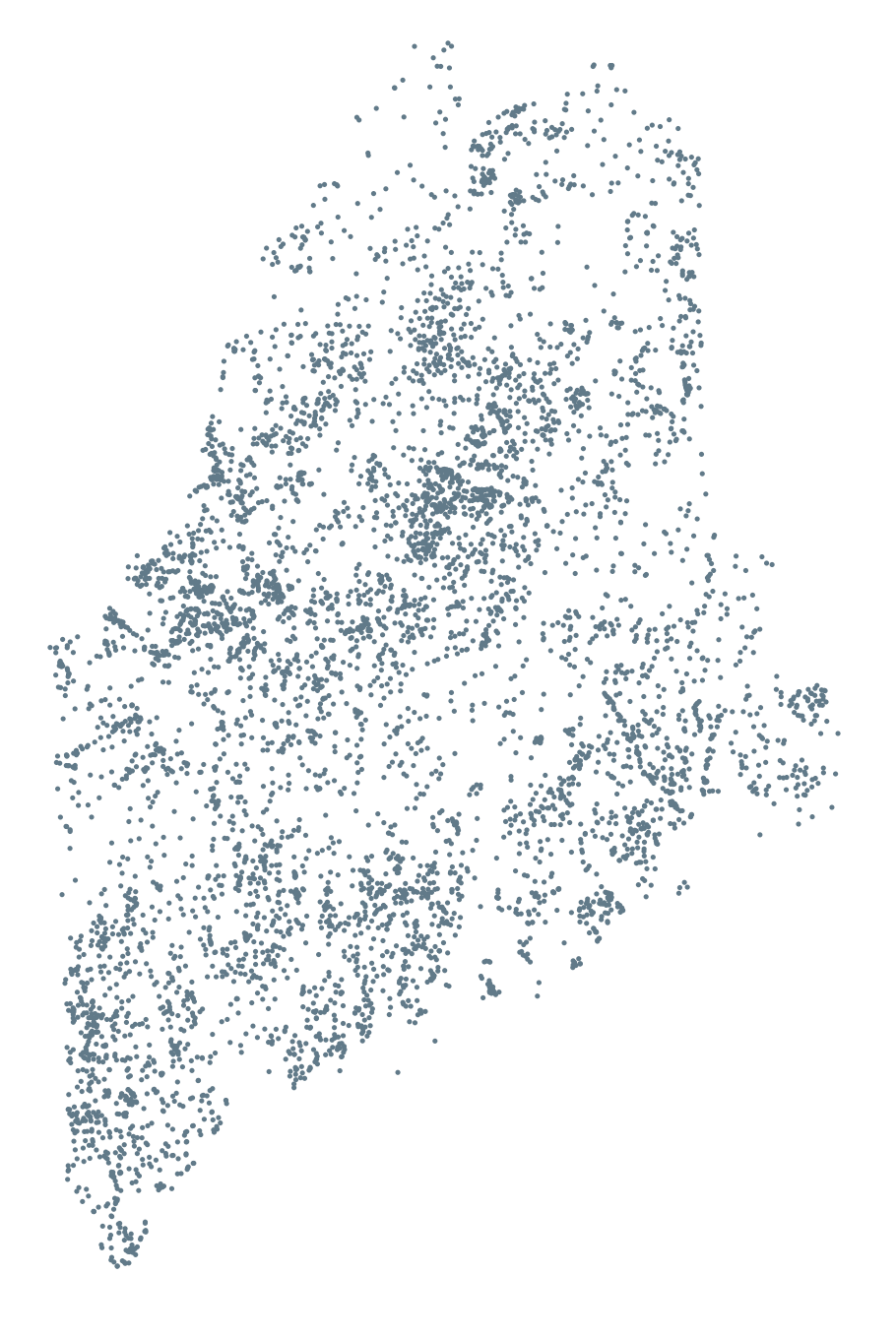
MIDAS
MIDAS stands for "Maine Information Display Analys System" and a unique MIDAS string identifier is assigned to all of Maine's inland water.
Every time I try to find this metadata I end up spending way too much time, so I am making this available mostly to help me keep my sanity, but it may help others as well.
Details
Geometry: POINT (EPSG:4326) — lake/pond/etc centroid
Fields: name (lake/pond/etc name; <chr>), midas (MIDAS identifier; <chr>)
Formats
shp/: ESRI Shapefile (POINT geom)midas.csv: Plain ol' CSV with X & Ymidas.geojson: GeoJSON (POINT geom)midas.sqlite: Spatial-ops compatible SQLite;midastable (POINT geom)